Dry January Sinks Northwest Montana’s Snowpack Below Normal
The lack of precipitation last month caused a dip the Flathead River Basin’s snowpack while the Rocky Mountain Front continues to drop well below average
By Maggie Dresser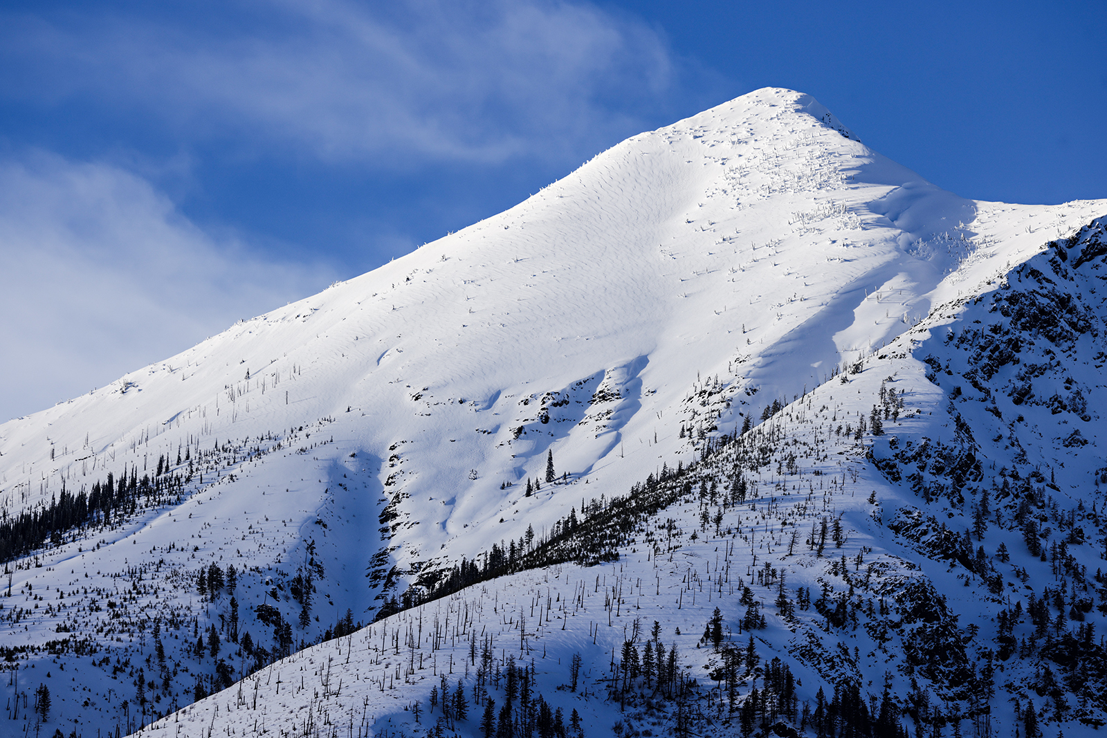
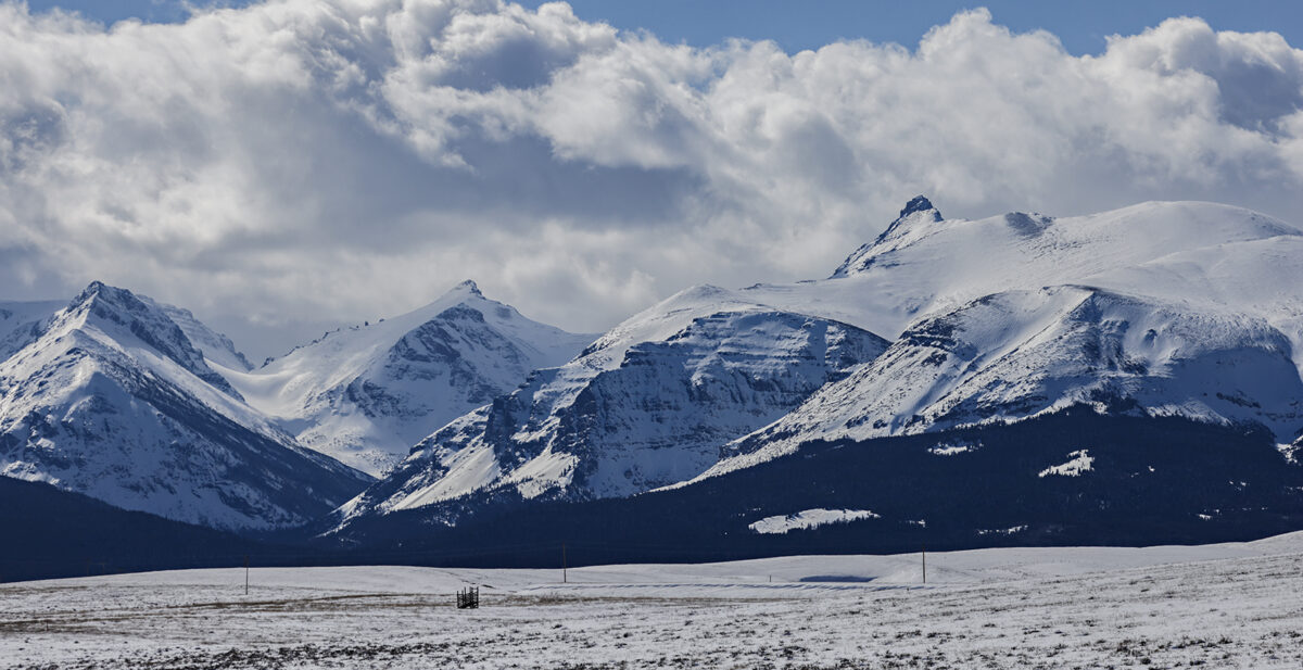
Following a snowy December that boosted northwest Montana’s snowpack to above-average, last month’s dry weather dropped the region’s river basins to low levels as winter continues.
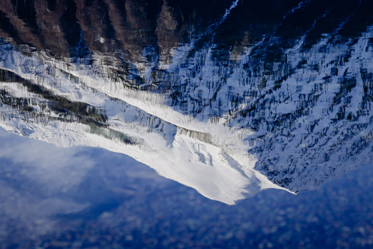
Northwest Montana’s snow water equivalent levels (SWE) dipped to about 85% in the Flathead, Kootenai, and the Lower Clark Fork river basins as of Feb. 13 while the St. Mary and Sun-Teton-Marias basins on the east side of the Continental Divide hovered around 70%. The Noisy Basin SNOTEL site in the Swan Mountains, however, is above average at 110% of normal.
“Fortunately, it was a good start to the season, so northwest Montana was doing pretty good at first with 90 to 110% of normal,” said Eric Larson, a hydrologist with the USDA Natural Resources Conservation Service (NRCS).
Last month, winter storms continued to favor central Montana, resulting in the Smith-Judith-Musselshell reporting 130% of normal snowpack, while Bear Paw reported more than 200% of normal, according to the Feb. 1 Water Supply Outlook Report.
But Larson says that while the Bear Paw River Basin is currently twice the average snowpack, the area on the Hi-Line is unique because the region is typically dry and there is only one weather station, unlike other basins that have multiple data collecting sites at various elevations.
“One big month can double the snowpack and percentages can fluctuate,” Larson said.
On the Rocky Mountain Front, SWE levels were well below normal by February, with only 56% at the Sun-Teton-Marias basin and 3 to 7 inches below the average SWE levels. Hydrologists say that significant accumulation is needed in this region over the next few months for the snowpack to recover.
But Larson says there is still time for recovery since the snowpack usually doesn’t peak until late April or early May ahead of spring runoff.
While SWE levels in northwest Montana remain below-average, Larson says the snowpack is still doing better than last winter when areas like Many Glacier saw the lowest level in the last 49 years by February of 2024.
“Last year was such a low year across most of Montana,” Larson said. “Last year at this time, lots of stations had some of their lowest snowpack in [decades].”
In mid-February of 2024, SWE levels in the Flathead River Basin hovered around 70% while the southern Mission Mountains were at about 60%.
If dry conditions persist following last winter’s dismal precipitation, Larson says the soil will suck up more moisture than it normally would, leaving less water for runoff during the spring.
“When you have a really low snow year, there could be implications for the next year,” Larson said. “The soil could be stealing that water. Just given the low snow year that we had last year, we’d want to have a slightly above snow year,”
At the end of last year, northwest Montana moved from a “no drought” phase to “abnormally dry” while the central part of the state changed from abnormally dry to no drought conditions, although drought conditions continue to persist from last year.
According to the National Weather Service, a surge of moisture is predicted beginning Friday afternoon, with widespread snow expected to fall through Sunday in northwest Montana. The long range forecast predicts that the Flathead Valley will see below-average temperatures with normal precipitation.