Warm Temperatures Drive ‘Early-Onset’ Spring Runoff in Northwest Montana
After a record-breaking warm and wet winter, hydrologists are forecasting streamflow deficits ranging from 75% to 90% of normal in northwest Montana as the chance of late-season snowpack recovery diminishes
By Maggie Dresser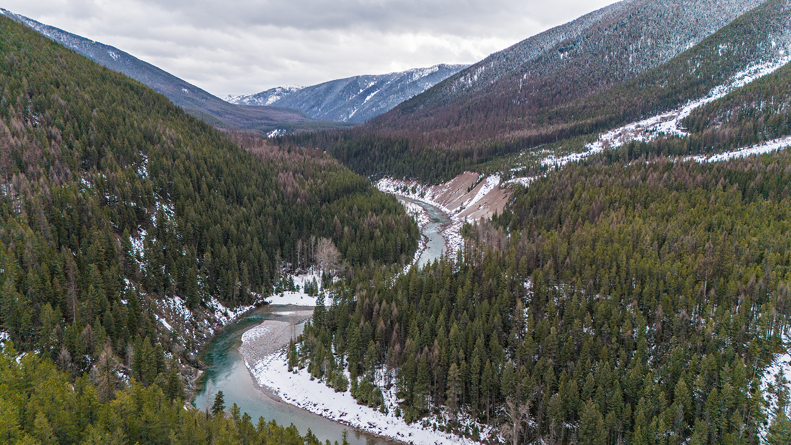
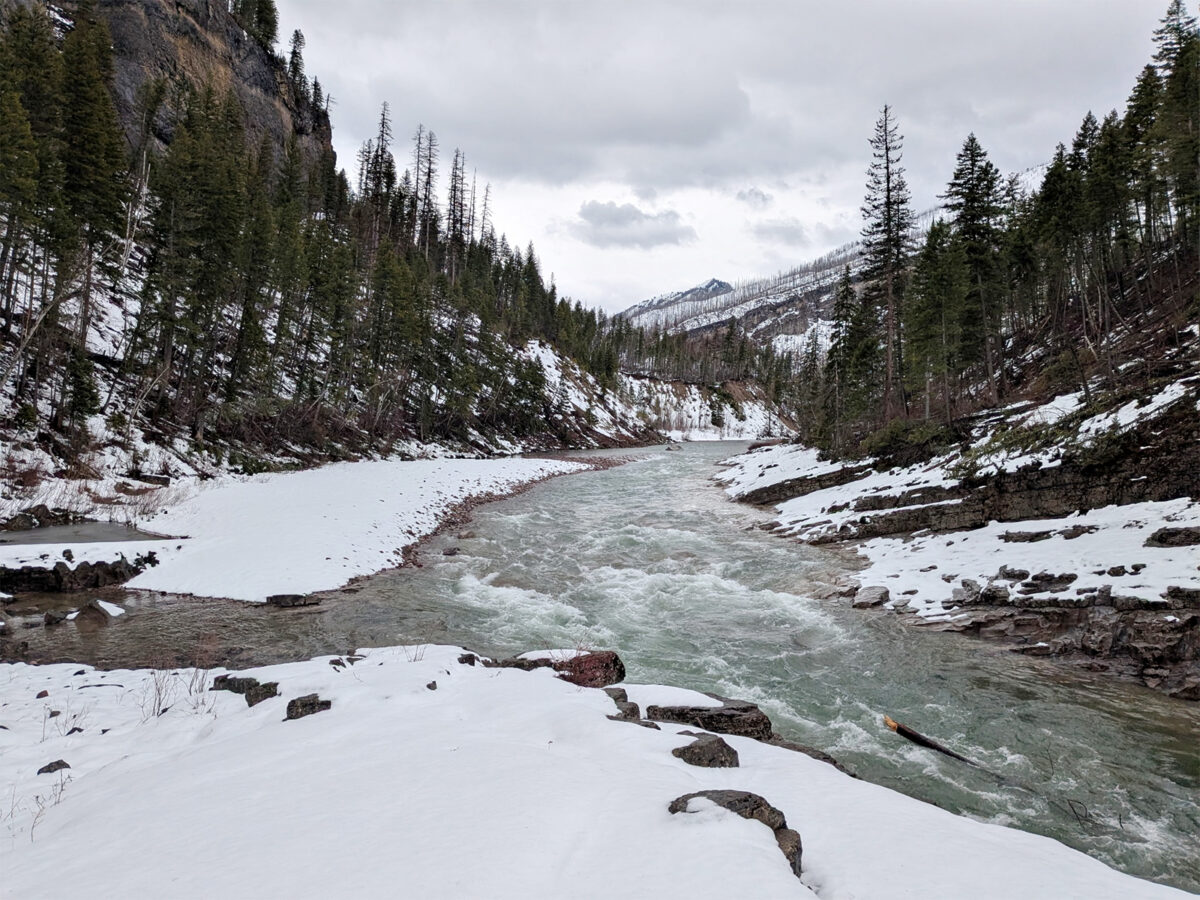
Despite the mid-March storm that dropped up to 10 inches of snow-stored water in the high elevations of the Northern Rockies, warm temperatures triggered an early spring runoff as hydrologists forecast below-normal streamflows ranging between 75% and 90% of normal in the Flathead and Kootenai river basins.
The snowpack lost anywhere from 1 to 8 inches of snow-water equivalent (SWE) in the second half of March when record-high temperatures caused widespread melting, according to the Natural Resources Conservation Service’s April Water Supply Report. Kalispell, for example, saw an average of 37.6 degrees Fahrenheit throughout the month, more than 3 degrees above normal.
“Basins that benefited from early March storms saw quick gains and losses — landing near last month’s snowpack of roughly 70% to 85% of median,” USDA Natural Resources Conservation Service (NRCS) Hydrologist Florence Miller said.
After multiple feet of snow fell in the upper elevations of the Flathead, Whitefish and Swan ranges just before St. Patrick’s Day, a heat wave caused rapid melting soon after, bringing the Middle Fork Flathead River to 14,400 cubic feet per second (cfs) by March 21, a flow typically not seen until mid-spring.
While year-to-date precipitation in most statewide river basins remained above average during the water year, which ran from Oct. 1, 2025 to March 31, 2026, that was largely thanks to a December atmospheric river that delivered record-breaking precipitation that caused those values to rise above normal.
For example, the Flathead River Basin’s year-to-date SWE levels as of March 31 were at 117% of normal; however, the warm weather had reduced those levels to 89% as of April 8. The Sun-Teton-Marias basin’s year-to-date level was 138% of normal but has since dropped to 83%. The Kootenai basin has dropped to 72% of normal from its year-to-date precipitation levels of 118%.
According to the water supply report, hydrologists believe the snowpack is unlikely to recover after early-onset runoff.
While high elevations reported near-normal or normal snowpack throughout the water year, NRCS hydrologists say middle- and lower-elevation weather stations show severe deficits. As of April 1, 41 SNOTEL and manual snow courses had already melted out, with many reporting the earliest melt-out date on record. Meanwhile, 84 weather stations registered record-low SWE and 22 stations had their second lowest on record.
“Across the state, streamflows are rising earlier than usual, with many stream gauges reporting March flow volumes significantly higher than normal,” Miller said. “The snowpack is very warm for this time of year, meaning the snowpack is primed for melt. This indicates an early-onset to snowmelt driven runoff, so runoff volume is likely to be shifted earlier in the year.”
Although well-below normal runoff is expected in southwest Montana where the Madison and Gallatin basins’ SWE levels are below 70%, the Upper Clark Fork basin near Missoula forecasts 90% to 110% of median streamflow and “continues to be a bright spot on the map.”
In a National Weather Service (NWS) water supply and flood outlook briefing, service hydrologist LeeAnn Allegretto, too, highlighted the Upper Clark Fork basin as one of few rivers with the potential to reach flood stage this spring, noting that the probability was only 30%.
“If one river shows any sign of possibly meeting or exceeding its flood stage it’s the Clark Fork River,” Allegretto said in the briefing.
The Flathead River outside of Columbia Falls has a 10% chance of reaching or exceeding flood stage in mid-June, but Allegretto said all other rivers in western Montana have a very low chance.
Allegretto said last month’s warm temperatures prompted the runoff season to start a month early, reducing the already shallow snowpack as the tail end of the season neared.
Hydrologists say it will be challenging to recover from the recording-breaking warmth of winter. The 2025-2026 winter topped the charts as the warmest on record in Libby and West Glacier while ranking as the fourth-warmest in Kalispell, according to the NWS Northern Rockies recap.
Libby’s average temperature this season was 33.7 degrees Fahrenheit, which was 4.7 degrees warmer than average. Libby received only 8.5 inches of snow throughout the entire winter.
In West Glacier, it was the warmest winter on record since data collection began in 1948 with an average temperature of 31.8 degrees Fahrenheit, finishing 6.6 degrees warmer than average.
Since Kalispell’s data collection began in 1899, the weather station at Glacier Park International Airport saw the fourth-warmest winter with an average of 30.6 degrees — a few degrees below the record of 32.5 degrees during the winter of 1933-1934. The season ended 5.7 degrees warmer than average.
“With the exception of October 2025, absolutely every single month leading up through March has been abnormally warm — and that’s really what the problem is with this entire winter,” Allegretto said. “While we got a lot of precipitation, just about the bulk of it did not fall as snow and while we do have snow in the mountains above certain elevations — honestly the majority of it was just too warm to fall as snow.”
Allegretto said Montana is faring well in comparison to Oregon and Washington, which saw near-record snowpack deficits this season, but residents could feel the impacts of the Pacific Northwest’s regional drought this summer.
“With such huge deficits of water supply in the northwest and Oregon, we could be choking on their smoke if they have a pretty active fire season,” Allegretto said.