Winds on Elmo Wildfire Predicted to Drive Growth
Daily fire forecast calls for 'aggressive spread' on some timbered slopes as blaze grows to 16,000 acres with 10% containment, threatening structures and prompting evacuations
By Mike Kordenbrock
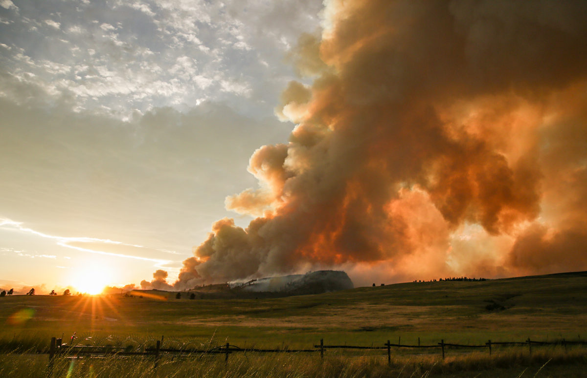
Gusting winds fanned the Elmo fire on Monday afternoon, fueling its continued growth along the west shore of Flathead Lake. The increased fire activity caused structure losses, threatened homes, spurred a new round of evacuations, temporarily closed Highway 93, and led to the opening of a second Montana Red Cross evacuation center.
On Tuesday, fire officials predicted another round of wind-driven growth and active fire behavior.
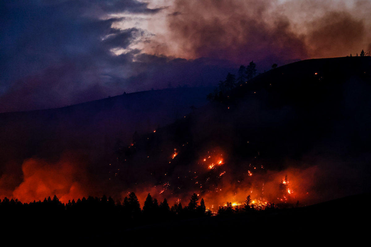
A red flag warning for critical fire weather is once again be in place Tuesday, and forecasts show wind gusts could reach up to 35 miles per hour, with afternoon winds coming out of the west. Firefighters expected the fire to be active throughout the afternoon “with aggressive spread expected in exposed areas of timber fuels on moderate and steep slopes,” according to an InciWeb update. “Group tree torching and upslope crown runs are expected with short range spotting.”
Tuesday’s red flag warning isn’t restricted to the area of the Elmo fire. The National Weather Service in Missoula has issued a red flag warning set to go into effect from 2 p.m. until 9 p.m. Tuesday for Fire Zones 105, 106, 107 and 108. Those zones represent the Flathead and Glacier National Park, West Lolo, the Flathead Indian Reservation and East Lolo. West winds are expected to be between 10 and 20 mph, with 30 to 35 mph gusts, and relative humidities will be between 10 and 15 percent during the warning.

Sara Rouse, an information officer with the Type 2 Northern Rockies Team 7 incident management team, said that they are expecting strong winds by mid-afternoon Tuesday. Strong winds on Monday forced the grounding of air resources for an hour starting at 2 p.m. According to Rouse, there is anticipation that strong winds on Tuesday could once again lead to aircraft assigned to the fire being grounded.
Rouse said the most fire activity Tuesday is expected to be on the eastern edge, as well as the middle part of the northern portion of the fire. Speaking shortly before noon, Rouse said that evacuation orders were in place for residents who live south of Lake Mary Ronan Road, and that the road is blocked, so people trying to access it must have a reason in order to be let in. Rouse said evacuation orders are also in effect for areas south of Camp Tuffit Road all the way south to Chief Cliff Lane. Areas affected by those orders include Big Meadow Road, Dayton Creek Road, Procter School Road, Black Lake Road.
By 6:30 p.m., evacuation orders had been expanded to include all residents north and south of Lake Mary Ronan Road, as well as people who live along Lake Mary Ronan.

Mission Valley Power has cut power to areas in the evacuation order area. People in those areas can expect “potentially to be without power until tomorrow,” Rouse said. A Mission Valley Power outage map shows active outages for a total of 59 customers went into effect late Monday afternoon.
Pre-evacuation warnings are in effect for residences east and south of Highway 93 between its intersections with Highway 28 and Lake Mary Ronan Road, including Dayton.
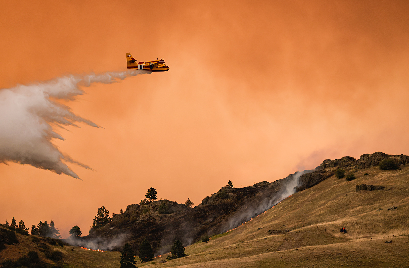
Firefighting personnel on the eastern side of the fire entered the day on Tuesday with plans to focus on structure protection, as well as both reinforcement and construction of lines. Continued water and retardant drops from planes are expected. Some resources from the southern perimeter of the fire were expected to be sent to assist with structure protection along the eastern side of the fire. Firefighters also planned to construct new dozer lines along the northern perimeter of the fire as conditions allow, and firefighting personnel also planned on starting structure protection work in Lake Mary Ronan.
Heading into Monday the fire was nearly 13,000 acres in size. A new estimate shared Tuesday morning estimated the fire to be 16,226 acres in size. Firefighters are also reporting the fire to be 10% contained. Containment gains have been made along Highway 28 on the fire’s southern edge. Personnel on the fire also increased by Tuesday, from 293 on Monday to 300, with more personnel en route.
At a 7 p.m. Monday night community meeting at the Elmo Pow Wow grounds, fire officials did say that a structure had been lost Monday afternoon. Speaking early Tuesday afternoon, Rouse said there had been multiple structures lost, but that she did not have information about the number or types of structures. “As soon as it’s safe for folks to go, they will do some assessment of those buildings, and then we can report out those numbers,” she said, adding that she anticipates additional information about structure losses being released Tuesday.

The cause of the Elmo fire remains under investigation, but firefighting agencies have described it in reports as a human-caused fire. The fire began burning last Friday at about 4 p.m. off Highway 28 in the Big Draw area near mile marker 39. The fire start location has been described as between 4 and 8 miles west of Elmo. After the fire began burning in grass, it progressed into timber north of Highway 28. Firefighting costs as of Aug. 1 had reached $893,500. As of Monday 50 structures were considered threatened by the fire.
Around the same time winds forced airplanes on the fire to be grounded Monday afternoon, the incident management team recommended to the Lake County Sheriff’s Office the evacuation of the Lake Mary Ronan corridor. The fire activity early Monday afternoon was mostly along the eastern side of the fire, but by 7 p.m. activity was beginning to increase on the middle portion of the fire’s north side, according to Rouse. By 9 p.m. Monday officials had announced that mandatory evacuations were in order for Lake Mary Ronan Road, Black Lake Road, and the surrounding areas.
Earlier Monday night the Montana Department of Transportation had announced the closure of Highway 93 between Elmo (mile marker 77) and Dayton (mile marker 83) because of fire activity. Highway 93 was reopened Tuesday to single lane traffic, with reduced speeds between Dayton and Elmo. Drivers may experience limited visibility, and there is no parking for fire viewing.
The American Red Cross announced Monday night that a second evacuation shelter had been set up north of the fire in Somers at the Somers Middle School at 315 School Addition Road in Somers. As of 1 p.m. Tuesday the Somers shelter was on standby but could be reopened quickly, according to Matt Ochsner, the communications director of the American Red Cross for Montana and Idaho.
An evacuation shelter at Polson High School at 1712 2nd St. W remained open Monday, Ochsner said. People can also request Montana Red Cross services by calling 800-272-6668.
“People need to know that all Red Cross services are free, and they’re available to all,” Ochsner said. “Our shelters offer a safe place to stay and warm meals. We can also help replace things, like eyeglasses and medications, that may have been left behind during evacuations.”
According to Ochsner 16 people stayed at the Red Cross shelter in Polson last Friday, which is when the fire was first discovered. There were no shelter stays Saturday or Sunday, and one person stayed in the Polson shelter Monday night.
This story will be updated.