‘Record-breaking Precipitation’ in December Boosts High Elevation Snowpack in Northwest Montana
An atmospheric river last month deposited up to 36 inches of snow to the mountains, bringing the Flathead River basin snow water equivalent levels to 114% of normal by Jan. 9
By Maggie Dresser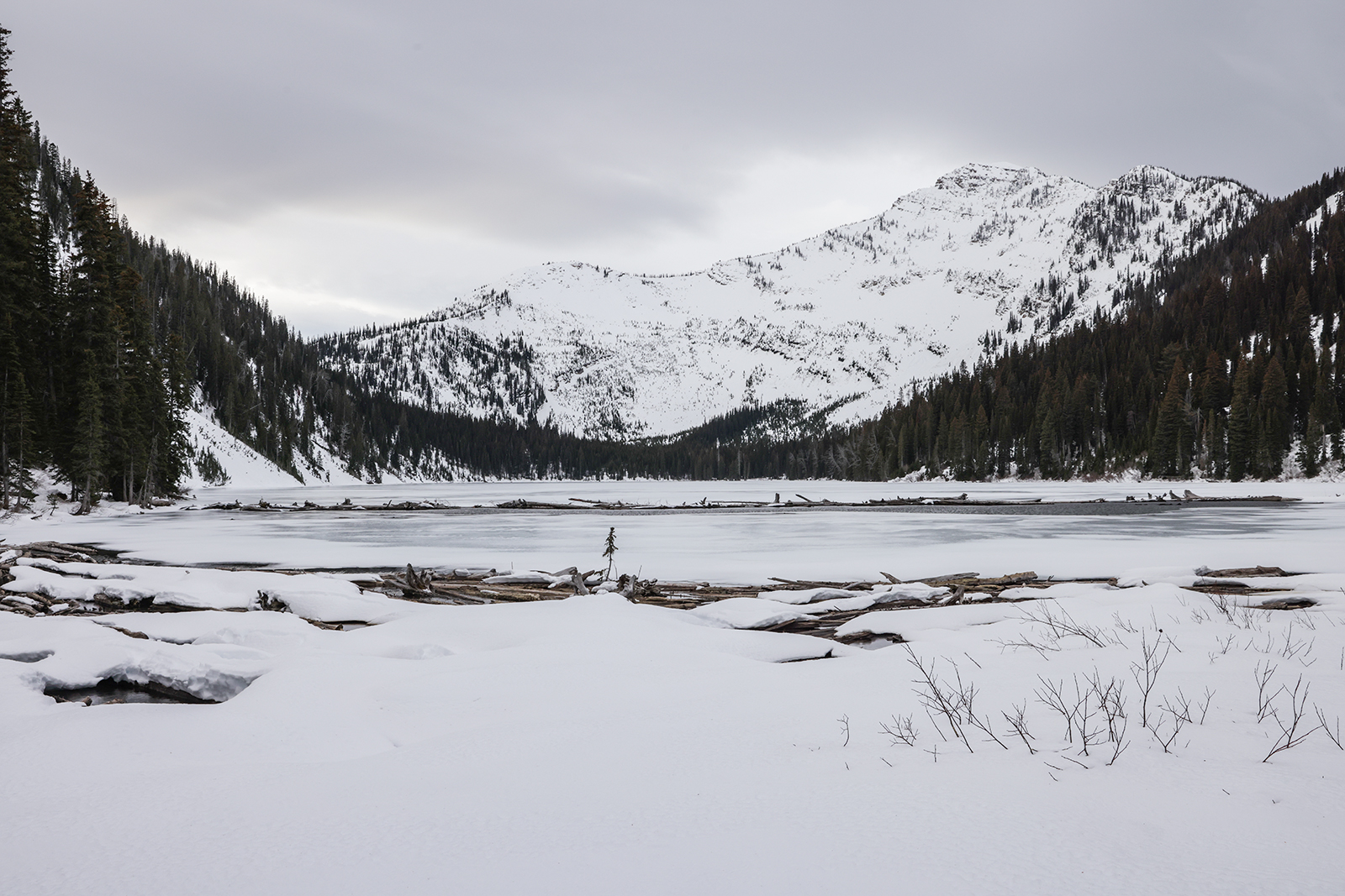
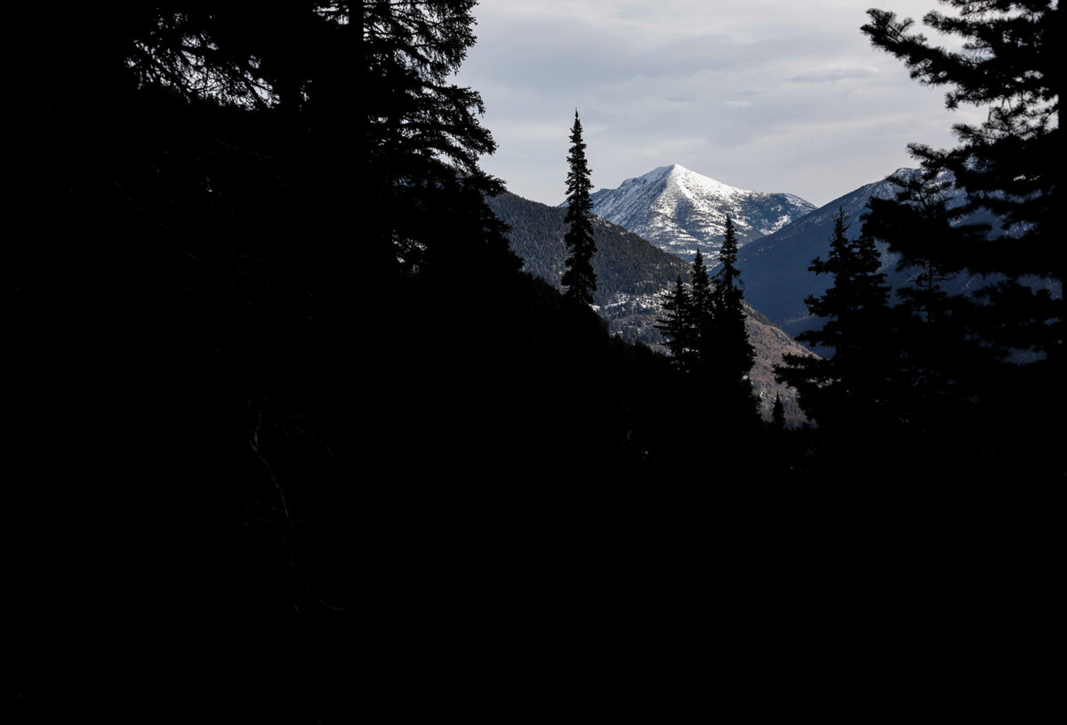
Despite abnormally warm temperatures combined with a potent atmospheric river that brought inches of rain to northwest Montana last month, the region’s high elevation snowpack is above normal for this time of year.
The Flathead River basin as of Jan. 9 had a snow water equivalent (SWE) of 114%, the Kootenai River basin was at 98% and the Sun-Teton-Marias basin on the east side of the Continental Divide was at 126%.
“Statewide, snow water equivalent is looking deceptively positive,” said Florence Miller, a USDA Natural Resources Conservation Service (NRCS) hydrologist, in a press release.
Miller said the statewide snowpack is near to above normal with most major basins at the 90% to 100% range of the median SWE levels.
By the end of December, the Flathead basin’s snowpack was at 105% of normal compared to last year’s snowpack of 53% by the end of December in 2024.
“December brought record-breaking precipitation,” Miller said.
Of the 96 SNOTEL stations across Montana, 70 recorded the highest or second-highest December precipitation on record.
At upper elevations, mountains in northwest Montana starting in October received 10 to 36 inches of snow. Bear Mountain in the Kootenai and Lower Clark Fork Basin ranked No. 1 with the most precipitation of 11.9 inches in December followed by Noisy Basin in the Swan Range with 9.3 inches. Flattop Mountain in Glacier National Park received 8.6 inches and Stahl Peak in the northern Whitefish Range received 8.5 inches.
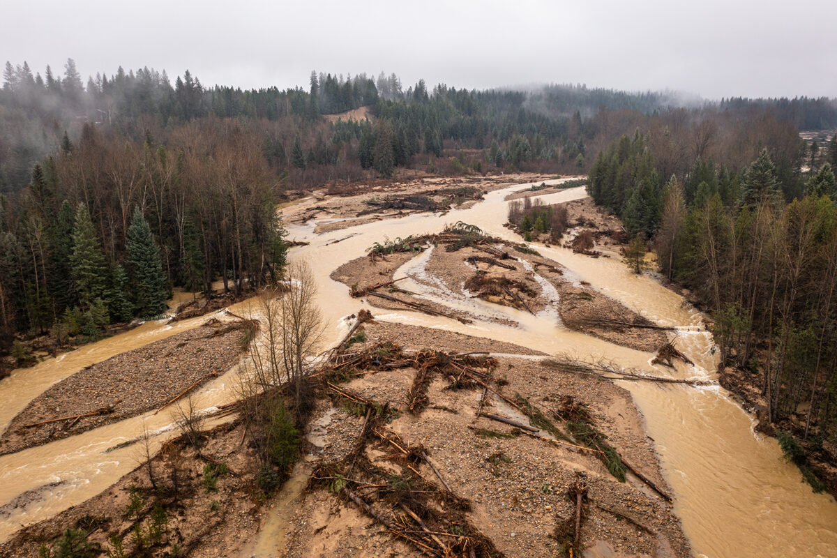
Last month, an atmospheric river deposited inches of rain to low elevations across northwest Montana, bringing rivers in Lincoln County to flood stage and prompting a state of emergency.
According to the National Weather Service (NWS), the Poorman Creek SNOTEL station south of Libby in the Cabinet Mountain Range received 12 inches of precipitation in six days, with nearly half of totals falling within a 24-hour period on Dec. 11. The Bear Mountain weather station on the Idaho-Montana border received 13 inches in that same timeframe and 6.5 inches on Dec. 11.
Poorman Creek recorded its highest precipitation on record since data has been collected over the last 28 years with 46.3 inches since October — over half of the median annual precipitation of 75.5 inches.
Rivers across northwest Montana last month hovered around flood stage following the atmospheric river. The Yaak River near Troy on Dec. 11 peaked at 8.3 feet, surpassing the flood stage of 8 feet and flowing at 7,940 cubic feet per second (cfs). The Fisher River on Dec. 11 peaked at 4,820 cfs compared to the median flow of 166 cfs.
On the Middle Fork Flathead River, flows peaked on Dec. 12 at 20,700 cfs compared to the median flow of 728 cfs for that date. The December crest was nearly double this year’s spring runoff peak of 12,100 cfs on May 12.
Miller said that lower elevation deficits could catch up and spring and summer streamflows will depend on the remaining winter months.
“For now, the snowpack in the mountains is on track, despite the unseasonable absence of snow in the valleys,” Miller said.