The National Weather Service is warning of a potentially damaging windstorm that is expected to hit Northwest Montana late Tuesday and early Wednesday following by a snowstorm.
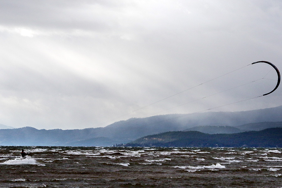
Meteorologists predict wind gusts greater than 50 mph and upwards of 70 mph in some areas. Large waves as high as 6 feet may arise on Flathead Lake and could damage docks, the NWS said.
Wind gusts in excess of 50 mph could result in power outages, tree damage, damage to outdoor personal items, and hazardous cross winds for higher-profile vehicles, the NWS said.
Snow and blowing snow in the mountains above 5,500 feet will create added dangers for those traveling over area passes or in the backcountry.
The National Park Service closed several roads in Glacier National Park in preparation for the high winds. The closures include the Inside North Fork Road from Fish Creek to Polebridge, Bowman Lake Road, Doverspike Meadow to Kintla and the Quarter Circle Bridge Road near Apgar. The Cut Bank Road is also closed at the park boundary.
A winter storm is expected to arrive Thursday. Valleys in western Montana may see a few inches of snow, and passes such as Lost Trail and Lolo will likely have periods of moderate snowfall.